


STEVENSON Le Boucher St Nicolas à Pradelles

GrouGary
User
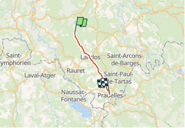

Length
16 km

Max alt
1239 m

Uphill gradient
237 m
Km-Effort
19.4 km

Min alt
1093 m

Downhill gradient
286 m
Boucle
No
Creation date :
2024-09-22 16:56:26.867
Updated on :
2024-10-19 19:23:01.356
4h24
Difficulty : Easy

FREE GPS app for hiking
 SityTrail
IGN / Geographical institutes
SityTrail Plus
The world is yours!
About
Trail Walking of 16 km to be discovered at Auvergne-Rhône-Alpes, Haute-Loire, Le Bouchet-Saint-Nicolas. This trail is proposed by GrouGary.
Description
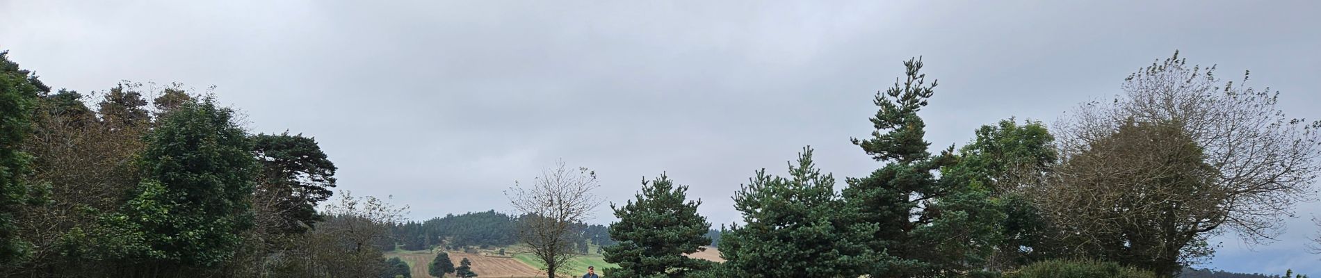
Etape1 pour moi, bruine... Les Gardes du Velay
Photos


Positioning
Country:
France
Region :
Auvergne-Rhône-Alpes
Department/Province :
Haute-Loire
Municipality :
Le Bouchet-Saint-Nicolas
Location:
Unknown
Start:(Dec)
Start:(UTM)
562390 ; 4970853 (31T) N.
Comments